 Navigation Tips
Aug 10, 2026• 5 min read
How to Navigate Remote Wilderness Without Cellular Signal
Master offline 3D topographic maps, GPS satellite locking, and battery optimization for long wilderness expeditions.
Read Full Article →

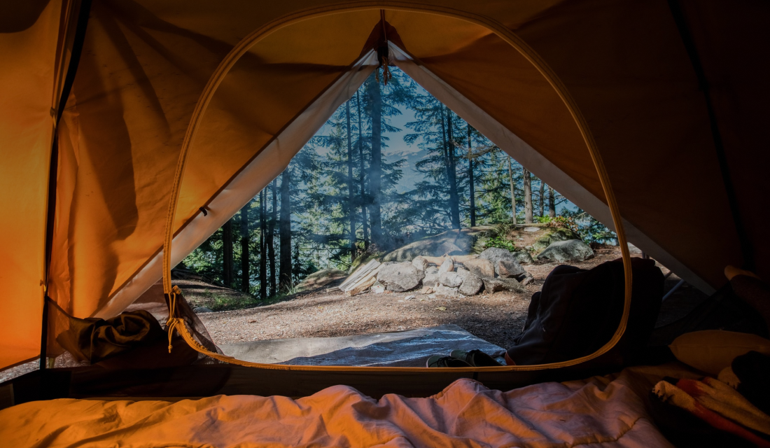
Camping isn’t just about pitching tents and building fires—it’s about freedom. It’s about feeling the earth beneath your feet, breathing in crisp morning air, and gazing at a sky so full of stars it makes you dream bigger. It’s about waking up to the sound of birds instead of alarms and realizing that the world is far more beautiful than we often remember

198kExcellent Reviews
Location

Aguas Calientes
Distance
173.28 mil
Elevation
2.040 km
Mountain Prigen, Pasuruan, Indonesia
Immerse yourself in lush pine forests and panoramic mountain ridges. Putuk Truno offers fresh mountain air, crystal clear natural springs, and designated camping zones with campfire pits.
 2,040 m Elev.
 3.5 hrs Hike4.9
 Mountain
Machu Picchu Valley, Peru
A breathtaking high-altitude campsite overlooking cloud forests and ancient Inca trails. Perfect for hikers preparing for early morning summit pushes.
2,430 m Elev.5.2 hrs Hike4.8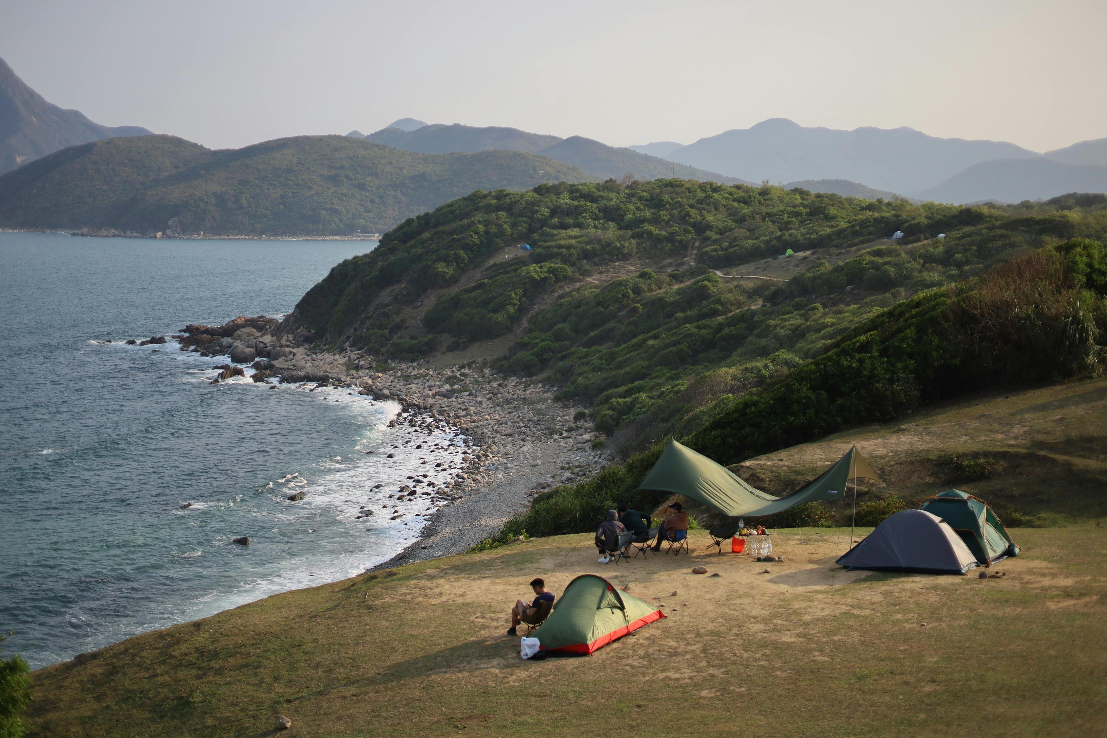 Lake
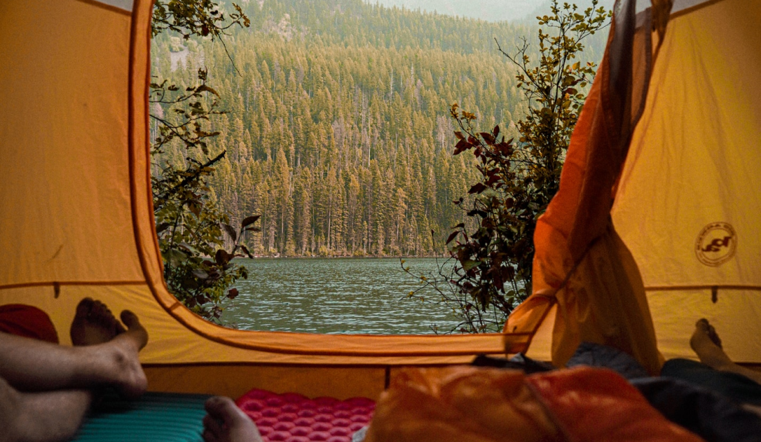
LakeBanff National Park, Canada
Wake up to reflection views of turquoise glacial waters framed by towering snow-capped peaks. Features canoe rentals and pristine lakeside campsites.
1,880 m Elev.2.1 hrs Hike4.9Travel has a way of breathing life into weary souls, offering quiet moments of solace amid the chaos within. Each new horizon carries a promise—of change, of renewal, of something beyond the weight of the present. The world is vast, filled with unseen beauty and untold stories, reminding us that even in our darkest moments, there is still light waiting to be found

We are here for you
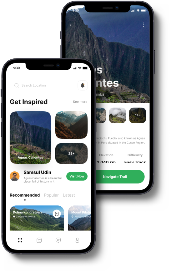
With the Hilink app, getting lost is a thing of the past! Our offline maps ensure seamless navigation, even without an internet connection. Invite your friends and family to explore the wilderness, trek through valleys, and conquer mountain peaks with confidence and ease
Destination
48 min
Aguas Calientes
Start track
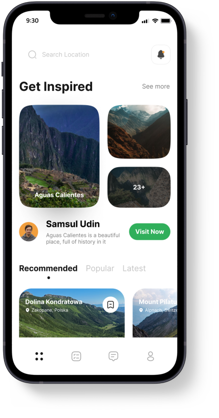
Discover what makes our platform unique and how we can enhance your outdoor adventures

We provide a solution for you to be able to use our application when climbing, yes offline maps you can use at any time there is no signal at the location
Schedule an adventure with friends. On holidays, there are many interesting offers from Hilink. That way, there's no more discussion

Technology uses augmented reality as a guide to your hiking trail in the forest to the top of the mountain. Already supported by the latest technology without an internet connection
Lots of new locations every month, because we have a worldwide community of climbers who share their best experiences with climbing
Never hike in fear. Our app pairs directly with global satellite constellations, transmitting your real-time GPS telemetry and medical profiles directly to local search & rescue command within minutes.
Read real stories from mountaineers, weekend backpackers, and nature enthusiasts navigating remote trails with Hilink.
"Hilink’s offline 3D LiDAR maps saved our trip during a sudden fog on Mount Rainier. The turn-by-turn audio guided us straight back to our basecamp tent safely!"

Colorado, USA
✓ Verified Trek: Glacier Ridge Summit Trek"Booking a certified guide through Hilink for our Emerald Lake kayak expedition was seamless. The gear rental was delivered right to our launch point!"

Vancouver, Canada
✓ Verified Trek: Emerald Lake Kayak & Camp"The satellite emergency SOS telemetry gives my family complete peace of mind whenever I set off on solo multi-day alpine ridge hikes. Highly recommended!"

Chamonix, France
✓ Verified Trek: Putuk Truno Alpine PassNavigation TipsMaster offline 3D topographic maps, GPS satellite locking, and battery optimization for long wilderness expeditions.
Eco-TourismProtect fragile alpine ecosystems, manage campfire safety, and preserve natural wildlife habitats for future generations.
Gear ReviewsPack lighter without sacrificing thermal safety. Our expert guide breaks down four-season tents, sleeping systems, and water purifiers.
Available on ioS and Android